
 Yahoo News
 Met Office forecasts frost as millions ask where summer has gone
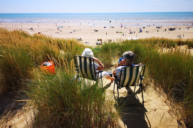
The UK will be in the grip of chillier conditions until July due to Arctic blasts, the Met Office has warned. Over the past week, it's been a colder affair with temperatures three to five degrees below seasonal averages.
A mid-Atlantic jet stream - directing wind from the north to the south above Britain and lowering temperatures - is to blame. And better weather is not expected until the end of June.
Simon Partridge, a Met Office meteorologist, said: "It looks as if temperatures will stay near or slightly below average for the majority of the rest of June. Over the next couple of nights we're actually expecting to see a little bit of frost in a few places."
READ MORE: Man 'executed' with Skorpion machine gun in case featured on Crimewatch - Trial
Scotland, northern England and Northern Ireland are set to be affected. But Mr Partridge said such weather patterns were "not unusual". He said: "On average we get an air frost which is when the temperatures reach zero every two to three Junes. So it's not that unusual. It's just not the norm for June to be this cool."
No respite is forecast for this weekend. Mr Partridge said: "There will be an area of low pressure sat over the northern part of the UK, which will unfortunately bring more unsettled weather to the UK.
"From Thursday onwards and through the weekend, we'll see showers circulating around the UK. However, temperatures will improve because that low pressure will cut off the supply of cold air across the UK, and as a result, we'll see the source of air coming from the west causing night-time temperatures to pick up a little.
"In the daytime we'll still be staying a degree or so below average, but the big difference is it will mean overnight temperatures will pick up so our nights won't be as cold."
For July, Mr Partridge said there was "no strong signal" for any specific weather pattern. He said: "The models are following the climatological norm, which indicates temperatures are where they should be or slightly above average.
"So there is a hint of things turning slightly warmer as we move into the beginning of July, and it does look as if some spells of drier weather will become a bit more likely."

