
 Yahoo News
 Millions face record-high temperatures as heat dome intensifies over US
Extreme heat has begun to hit the US, delivered by a high-pressure weather pattern that the federal weather prediction center says will be “potentially the longest experienced in decades for some locations”.
According to meteorologists with WeatherBELL Analytics, about 265 million people in the US are forecast to see air temperatures reach or exceed 90F (32C), with many of them experiencing heat indices of about 105F by next Sunday.
The system, an upper-level ridge of high pressure, is expected to bring record-breaking temperatures in the 90s and beyond. Some areas will experience temperatures as high as 105F, or 25 degrees above normal.
Cities forecast to be hit by the heatwave include Chicago, St Louis, Indianapolis, Detroit, Cleveland, Cincinnati, Pittsburgh, Philadelphia, Boston, New York City and Albany, New York.
Related: US braces for ‘dangerous’ conditions as heatwave to hit midwest and north-east
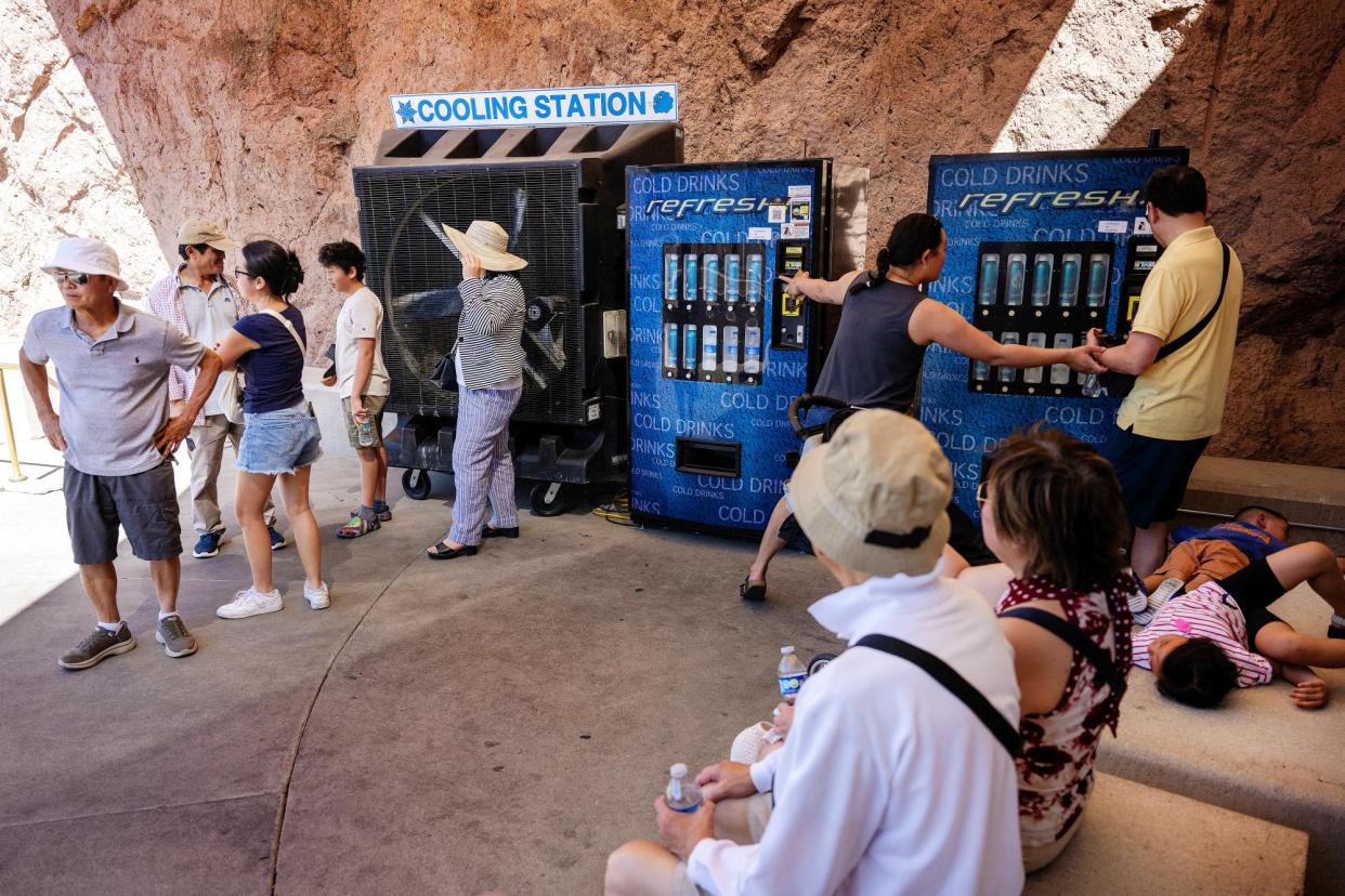
The anticipated heatwave is caused by a heat dome – ridges of high-pressure that trap warming air beneath and block other, milder weather systems from moving through – that has been building in intensity in the Ohio valley and lower Great Lakes, and is now forecast to move east-north-east.
New York City activated an emergency plan for the “dangerously high” heat, which included opening cooling centers in preparation for this week.
“We want to be clear, this is extremely hot for June and New Yorkers should not underestimate the heat,” New York mayor Eric Adams said in a press conference on Monday. “With climate change leading to more frequent and intense heat, summers are different than they were before, and so we should expect and be prepared for the hot weather that is coming.”
He added that city officials are also monitoring air quality – smoke from last year’s Canadian wildfires notably traveled thousands of miles away, blanketing parts of the US’s east coast, including New York City.
Even in mild, Atlantic-bordering states such as Maine forecasters have said they expect record warm overnight minimum temperatures and daytime highs well into the 90s.
The National Weather Service station in Caribou, Maine, said that temperatures would soar “under an anomalously upper level high pressure system” and “multiple days of record breaking temperatures will lead to dangerous heat without a chance for reprieve overnight”.
Forecasters in Boston say that temperatures touching 100F “would challenge all time record highs for the month of June”.
Despite the high temperatures, several beaches across Massachusetts are closed to swimming due to high bacteria levels. State officials warned residents to find another way to cool off, or else risk their health.
The Centers for Disease Control (CDC) and the National Weather Service recently introduced a color-numeric-based “HeatRisk” index system to provide a risk guidance for those decision makers and heat-sensitive populations.
The index takes into consideration how unusual the heat is for the time of year, the duration of the heat including both daytime and night-time temperatures, and if those temperatures pose an elevated risk of heat-related impacts.
The index is flashing a magenta-colored “extreme” health risk levels moving from the midwest and Ohio valley to the north-east during mid-to-late week.
“This level of rare and/or long-duration extreme heat with little to no overnight relief affects anyone without effective cooling and/or adequate hydration. Impacts likely in most health systems, heat-sensitive industries and infrastructure,” the index warns.

