
 Yahoo News
 When mini-heatwave will return to UK as weather experts issue forecast for July
Temperatures have dropped across the UK this week but forecasters say sunshine is on its way back in July.
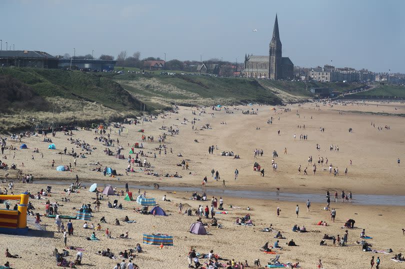
The country enjoyed a spell of hot weather in June, with the mercury reaching the mid-20s in the North East. Last week, 30.3C was recorded at Heathrow, prompting the UK Health Security Agency to issue heat health alerts.
The temperature has since dropped and is likely to hover around the mid-to-high teens over the coming days. Cloudy conditions are also forecast for much of the UK this week.
Read More: Expert shares ways to get rid of flies in your home including using a common kitchen item
However, there's hope for some better weather from next week, reports the Mirror. According to Accuweather, high temperatures of 25C could be felt in London and the southeast on Wednesday, July 10. Weather radar maps from WXCharts have turned red, indicating warmer than usual temperatures compared to the average for that day of the year.
Longer term forecasts for July however remain more mixed. In his latest Exacta Weather update, forecaster James Madden said the jet stream could bring a prolonged period of warmer temperatures from next week, and wrote: "We now expect the more southern-driven jet stream to start to drive northwards from in and around this time next week and during the following week, starting on July 8th.
"This will allow for our shores (UK and Ireland) to come under a much warmer airflow over an extended period from this pattern change, and it will also place us in an extremely favourable position for high pressure rises and some hot to very hot temperatures on a widespread scale from in and around mid-July and throughout much of the second half of the month."
The Met Office has meanwhile predicted a period of more "changeable" conditions, including some rain. Its long-range forecast for Friday, July 5 to Saturday, July 14, reads: "This period is likely to see a continuation of the changeable conditions, with occasional bands of rain moving in from the west or northwest.
"There will be a good deal of dry, warm, and settled weather in between frontal systems, with the best conditions most likely in the south and east where winds will be lighter. In contrast, further north and west, it will generally be breezier, and any rain that does occur will be heaviest over the hills.
"Cloud cover will vary, with cloudier weather expected in the north and west, while clearer skies are likely in the south and east. Temperatures will be around or a little below average for the time of year, but on sunnier days with lighter winds, it will still feel warm."
North East weather forecast
Wednesday:
A cloudy start with patchy rain and drizzle particularly across eastern parts. Then some brighter spells before a fragmenting band of rain arrives from the west through the afternoon. Mild. Maximum temperature 17 °C.
Wednesday night:
Cloud and rain clearing to the east through the early evening, followed by some late sunny spells and a chance of the odd shower. Mostly dry overnight but breezy. Cool. Minimum temperature 4 °C.
Thursday:
A bright day with occasional showers, some of which may be heavy and thundery. Winds will strengthen, becoming strong, with a chance of gales over the Pennines. Feeling cool. Maximum temperature 17 °C.
Outlook for Friday to Sunday:
Mostly mild and dry Friday, with isolated showers possible. Breezy with heavy showers, perhaps merging into longer spells of rain Saturday and Sunday, a chance of thunderstorms. Cooler.

