
 Yahoo News
 Scotland's 'unsettled' weather this week as sunshine and thundery showers on the way

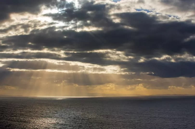
The UK is set for some unsettled weather in the coming days as the latest forecast predicts a mixture of heavy, thundery showers and sunshine.
The weekly forecast from BBC Weather has confirmed that temperatures will stay in the teens and above but some low pressure will bring rain, wind and thunder along the way. BBC Weather meteorologist Helen Willetts has predicted that the sun will last into the new week but a band of low pressure will cool off temperatures and bring some showers too.
In the latest forecast video on the BBC website, Helen discussed the current weekend's weather and what we should expect for the upcoming week. She said: "Saturday brought some big thunderstorms once again and in some coastal areas, for example around the Irish Sea as well as the North Sea coast, we had some persistent sea fog - and that will be a continuous issue for the next couple of days.
"Some spells of warm sunshine for many though and perhaps fewer heavy showers. That's because high pressure is close by - very few isobars on the chart. That means there's little wind to move these storms on when they do come along and that's why we're seeing such intense and such large amounts of rain from these storms.
"So moving to Sunday, the moisture's returned through the night, the mist and the sea fog having come into land off the North Sea and around the Irish Sea coast, even some fog in land, but it should clear away .
"There will be rather more cloud across Scotland so perhaps not quite as warm in central and eastern areas as we saw on Saturday. Similar sort of weather for Northern Ireland and perhaps more sunshine with fewer showers across England and Wales - 22 to 23."
Helen noted that things will freshen up on Monday morning and the fog will clear, with warm sunshine in the mainland of Britain. The forecaster said: "But near the sea and coasts, a little cooler because we've still got some rather low sea temperatures and the wind is coming down from the north. So as we go from Sunday night into Monday, that sea fog rolls back inland and temperatures will dip again to eight or nine at their lowest.
"So a fresher start on Monday but again misty and murky bits of fog to clear first thing. That is, as you can see, northerly continues to just hold some of that fog perhaps right on the coast and then inland we get some warm sunshine and probably fewer showers as well.
"Because it's a slight northerly drift, temperatures might be just a degree or two lower than those of Sunday but still feeling warm and the sun is still just as strong, that's important."
On Tuesday, Helen said that a band of low pressure will bring some potentially thunderous showers near the coastal areas. She continued: "Now as we go towards Tuesday, low pressure is approaching the south and the west so we might see rather more showers coming in across Northern Ireland and later in the day across southwestern Wales, and perhaps even one or two near the North Sea coast which could turn out to be heavy and thundery as they head inland as they're lifted over the hills.
"But there will still be some warm sunshine for many, it's just starting to turn a little bit more unsettled on Tuesday onwards into next week. Now beyond that, this area of low pressure may start to bring in some not just wetter weather but windier weather as well.
"So that will give quite a lot of intense and heavy, potentially even thundery rain because there's a lot of instability in the atmosphere. It looks at the moment as if it'll be across central and eastern areas of England but there are showers further west anyway and obviously with all that cloud around and more rain and showers, temperatures won't be quite as high. They'll still be around average actually for the time of year. "
Through to Wednesday, high pressure will appear and mix in with the current band of low pressure, bringing some unsettled weather. Helen said: "Taking it beyond then, that low pressure is as you can see still just drifting its way north westwards with high pressure just towards the west so we're balanced really between the drier, more settled high pressure weather towards the south and the west and that low pressure with its chilly winds coming down from the north and its rain."
Finally, by the end of the week and into the weekend, Helen has predicted that Scotland will see some unsettled weather and potential showers. She said: "So temperatures will tumble a bit more potentially on Thursday. Now by the time we get to Friday we're hopeful that that low pressure will start to clear out the way and as we go into the weekend - which is for some bank holiday weekend - high pressure should start to build, at least in the south because towards the north it looks like low pressure will influence from time to time albeit with weather fronts or showers coming in off the Atlantic.
"So, still looking a little bit unsettled even into next weekend as well. Beyond that, we might find that high pressure building but at the moment as it stands, it's a fairly unsettled looking picture particularly in the north into next weekend."
The Met Office's five day forecast backs up this weather prediction with meteorologists predicting "unsettled" conditions and "sunnier interludes at times".
Met Office five-day forecast for the UK
Today's forecast
Low cloud, mist and fog generally clearing, though lingering around some coasts, mainly in the northeast. The odd heavy shower in Scotland. Otherwise a fine day with plenty of warm sunshine. Cooler under cloudier skies in the northeast.
Tonight's forecast
Some late evening sunshine on offer before low cloud creeps in from the North Sea. Clear spells in the west overnight where it'll feel cooler with patchy mist and fog.
Monday's forecast
Overall a fine day with lots of warm sunshine. Low cloud lingering in the northeast where it'll be cooler. Showers in northwest Scotland, Northern Ireland and possibly southern England.
Outlook for Tuesday to Thursday
Turning unsettled with showers and a risk of more organised and heavy rain, with strong winds in eastern areas by mid-week. Still some dry and warm, sunnier interludes at times.
Don't miss the latest news from around Scotland and beyond - Sign up to our newsletter here.

