
 Yahoo News
 Stonehenge Bluestones: Bristol Channel confirmed as glacial transport route
A large glacial erratic discovered in Limeslade Bay on the south Gower coast, has been identified as having a North Pembrokeshire origin, confirming that large blocks of stone were carried eastwards up the Bristol Channel by a powerful glacier during the Ice Age.
The boulder, made of greenish igneous rock, was discovered in 1922 by photographer Phil Holden while walking across a limestone shore platform, some way below the high tide mark. It is more than 2m long, and is estimated to weigh around 5 tonnes.
New research, published in the peer-reviewed Quaternary Newsletter journal, disposes once and for all of the notion that the glacial transport of the Stonehenge bluestones would have been 'impossible'.
READ MORE: 'Lost' bluestone provides vital clues to Stonehenge history
Author Dr Brian John, a retired Durham University lecturer, says that the ice stream responsible for entraining and then carrying the massive boulder originated in the Irish Sea, as part of the British and Irish Ice Sheet.
It flowed across Pembrokeshire from the North West towards the Sout East and then swung eastwards up the Bristol Channel. It was so powerful that it impinged on the South Wales coast, overwhelming the streams of ice flowing southwards from the Welsh ice cap.
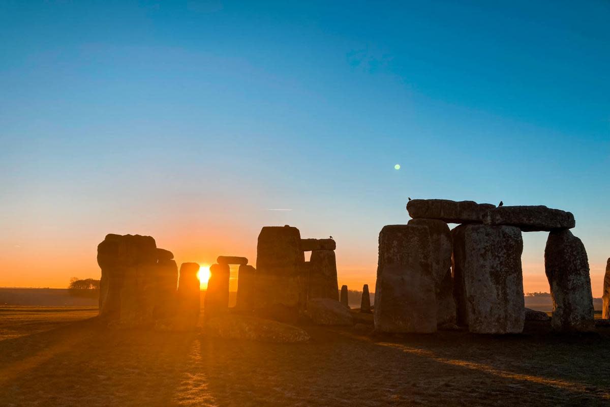
This incredile Stonehenge sunrise was shared by Laura de Freitas (Image: Laura de Freitas)
The research is supported by scores of other glacial erratics, some large enough to be called 'giant erratics', that have been found around the shores of the Bristol Channel.
Some of these lie at altitudes above 100m, meaning that they cannot have been carried and dumped by floating ice. Many of these erratics have come from West Wales, but others probably originated in Northern Ireland and Scotland.
SEE ALSO: Jools Holland meets local author backstage to sign copies of her book for charity
The new evidence confirms that the ice stream was dynamic enough to reach the Bristol/Bath area, the Somerset Levels and Salisbury Plain.
Dr John says: “The new work has a direct bearing on the Stonehenge bluestone debate. The idea that the bluestones were carried from the Preseli Hills to Salisbury Plain by our Neolithic ancestors was first proposed in 1923 by geologist Herbert Thomas, who believed at the time that glacier ice had not extended much beyond the south coast of Pembrokeshire.
"He stated that glacial transport would have been 'impossible'. He was culpable in that regard, because he ignored much evidence of extensive glaciation presented by his peers. His myth has survived for a century, and flies in the face of science.
"But we now know that the ice reached the edge of the Celtic Sea shelf, over 200 km beyond the Isles of Scilly. It must also have extended as far eastwards as the Somerset Levels and the Wiltshire chalk escarpment.
“The geological evidence shows that the Limeslade Boulder has probably come from somewhere near the north Pembrokeshire coast, but not from Mynydd Preseli. This confirms that the overriding ice picked up erratic boulders and debris from many different locations.
"Some boulders were carried for short distances and others for hundreds of kilometres before being dumped. In the 'bluestone assemblage' of boulders and smaller stones at Stonehenge there are at least 30 different rock types, and many of the stones in the bluestone circle and horseshoe have the typical characteristics of glacial erratics.
"Our Neolithic ancestors may have been heroic. But they were not stupid, and it’s likely that they gathered up the bluestones which they discovered on Salisbury Plain and used them more or less where found.”

