
 Yahoo News
 UK weather maps show when 30C heatwave will end with thunderstorms
Weather maps have pinpointed the exact date when the 30C heatwave currently baking Britain is expected to break, with thunderstorms forecast to bring an abrupt end to the scorching conditions.
The nation is poised for a spell of sweltering weather as a wave of heat engulfs the country. However, the balmy British climate is predicted to be short-lived, with the Met Office announcing today that the warm spell could conclude by Thursday.
In a tweet, the Met Office stated: "A hot week is expected in some places, with temperatures peaking on Wednesday or Thursday." The message continued: "It won't be hot and sunny everywhere, however..." alongside a dynamic weather map detailing the upcoming conditions, reports the Express.
READ MORE Brits banned from Italy tourist trap amid 'explosive' hygiene warning
The animated weather graphic indicates a varied forecast, with cloud cover in certain areas contrasting with sunnier skies elsewhere. Monday's map predominantly shows intense red hues, indicating peak temperatures near 28C in London, while even northern regions like Aberdeen in Scotland may see highs around 23C.
But respite from the oppressive heat may arrive tomorrow. According to the map, "another front" will usher in showers to the north, yet the south is likely to remain bright and sunny.
On Wednesday, Londoners can expect the mercury to soar even higher, reaching 30C. However, the stark contrast in temperatures across the UK will be evident as Scotland sees a significant drop, with Aberdeen cooling down to around 15C.
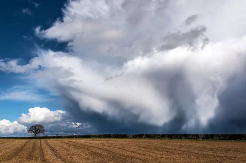
The Met Office has forecasted that by Thursday, conditions will "turn cooler from the west with showers for many." Jim Dale, senior meteorologist and founder of British Weather Services, commented: "Three fine days and a thunderstorm more or less fits the bill."
He added: "The storms will be well scattered as the humid air builds during Wednesday and Thursday but many will miss them ahead of things freshening up."
Looking further ahead, the Met Office's longer-range predictions, which cover from Friday, June 28 to Sunday, July 7, suggest that the warmer temperatures are likely to be pushed away.
The Met Office stated: "Fresher conditions with a westerly wind from the Atlantic, and changeable weather is most likely to prevail through much of this period; the hotter and more humid weather experienced by the south prior to this will most likely have been pushed away into the nearby Continent."
It also noted: "However, there remains at first, a small risk that these conditions could linger for a time in the south, with the change to fresher weather more erratic with a chance of more widespread thunderstorms."
The Met Office has stated: "This aside, western areas are likely to see the most frequent rainfall, whilst eastern areas remain drier, and a trend towards more generally settled weather through the period is probable. Temperatures expected to be around to a little above average."

