
 Yahoo News
 UK weather: Mini-heatwave predicted to hit ahead of bank holiday weekend

With just a week to go until the next bank holiday weekend, Brits could be in for an early summer treat as weather maps signal a sizzling mini-heatwave, topping 30C in some areas. Furthermore, it could stretch 400 miles across the UK before the end of the month.
The south of England is set to bask in the most sunshine, with London, Brighton, Crawley in West Sussex, and Canterbury in Kent expected to see temperatures into the mid-twenties between May 25 and 29, just in time for the long weekend.
While the Met Office has stopped short of declaring an official 'heatwave', forecasters have been analysing data from a pressure trend chart, which suggests there's a 61 per cent chance of high pressure in the UK next Saturday, May 25. The predictions come just days after similar high pressure caused the UK to bask in temperatures exceeding 24C for at least four consecutive days last week.
READ MORE Exact date 'Saharan Plume' to hit as Brits told to prepare for 24C 'heatwave'
READ MORE Live: Bristol trains cancelled after emergency incident
The expected wave of heat is not just confined to the South, however, as Scotland is also set to see temperatures soar into the twenties, with further North East and North West regions anticipating highs over 20C, reports the Mirror.
The Met Office's late-May forecast stops short of declaring a "heatwave" but does indicate a mixed bag of conditions, noting: "Overall, one way or another, it looks like remaining fairly unsettled across much of the UK, with further rain, showers, or even thunderstorms in places, though there will be some sunshine between times, the best of this possibly in southwestern parts. Both rainfall amounts and temperatures are likely to be a little above average, but some large spatial differences are likely."
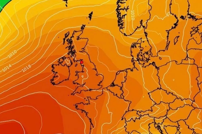
The weather chart is awash with pink and red, with the latter indicating a higher chance of high pressure. According to the latest weather model, Saturday, May 25, looks set to be the sunniest day, although the odds are also good for pleasant weather on either side of this date.
However, the forecast is far from certain as meteorologist Alex Deakin cautioned in the Met Office's Deep Dive video.
He said: "We can't promise anything. There is not a strong signal, and that is often the case for this time of year, because it is May, because there is not a lot of contrast between the North Pole and the Equator, there is not a lot of power in the jetstream.
"There are hints... hints of high pressure. There are some signs of high pressure but it is far from nailed on. It is weak, it is just slightly more chance than not of high pressure... There has been a bit of chatter about high pressure returning. We can't really talk about that at this stage. There are a few signals at the moment, but pretty weak signals."
Meanwhile, James Madden from Exacta Weather has also weighed in on the possibility of an upcoming warm period, remarking: "Some of the main third-party computer models are now becoming more popular in recognition of the high pressure that rises across our shores throughout next week."
Speaking to Birmingham Live, the forecaster predicted: "This is now likely to bring at least another several days of warm to hot conditions, and could initially see temperatures rising into the mid to high 20s quite widely - and 30C or more can't be entirely ruled out in the hottest spots, and for the first time this year.
"Additionally, there are also some very extreme runs for heat coming through for this final third of this month and into early June, and this particular period and weather scenario for a heatwave is something we have been covering for these exact dates over the past several months in our spring forecast, and over the past several weeks in our summer forecast for around early June."
He added: "We should be in full recognition of these high pressure rises across the UK and Ireland, with some good cross-model agreement on this, which looks to be perfectly primed for arrival during next week and in time for the spring Bank Holiday weekend, and to begin the meteorological summer and June at present."

