
 Yahoo News
 Weather maps reveal when 300-mile heatwave will sweep UK
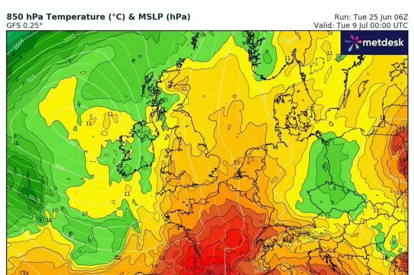
A scorching 300-mile heatwave could be set to sweep the UK next month. The Met Office has said another wave of hot weather is set to arrive next month, with a 'higher than average chance of heatwaves developing' from July 9 to 23.
Maps from WXCharts show highs of up to 25C striking the south east of England - between London and Canterbury in Kent. The Midlands, south coast and East Anglia could see highs between 22C and 24C. Highs between 19C and 22C are predicted for the south west, Wales and parts of the north.
Northern Ireland and parts of Scotland will see slightly cooler temperatures between 13C and 19C. The Met Office said: "Current indications suggest that a continuation of the trend towards more settled weather through mid-July is weakly favoured, with below average rainfall and temperatures around to a little above average.
READ MORE: DWP explains 'points system' which it bases PIP decisions on
Don't miss the biggest and breaking stories by signing up to the BirminghamLive newsletter here.
"Any more significant rainfall would most likely be in the northwest, and in thunderstorms elsewhere. There is a slightly higher than normal chance of heatwaves developing through this period."
The Met Office also said a cooler front is expected to arrive on Thursday, Express reports. Bands of cloud and showery rain are expected to run south east across the country.

It will still feel very warm ahead of this, with the southeast hanging on to the warmth and sunshine. By Friday, the entire country will be cooler, with temperatures near or below average in the north west and near or above average in the southeast.
There will also be plenty of dry weather with sunny spells, although showers and breezy conditions most likely in the northwest.

