Why is June so cold and when will it warm up?

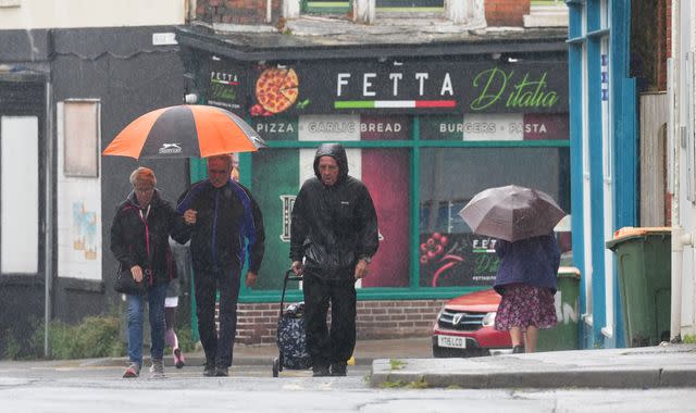
June's wet and grey weather does not feel particularly summery, so what is going on and, more importantly, when will it warm up?
Last month was the UK's hottest May on record, as higher temperatures during the night and warm weather in Scotland pushed up the temperature to about one degree above average.
But just over a week into June, the mercury has dropped.
"It seems like we're one to three degrees below normal for this time of year," David Schultz, a professor of Synoptic Meteorology at The University of Manchester, told Sky News.
The temperatures across the UK on Sunday were between 10C and 17C from midday, according to the Met Office.
The average temperatures for this time of year are usually between 13C-16C in the north and 17C-19C further south, so this weekend was "average or just below", but the showers and breeze made it feel colder, according to Met Office meteorologist Marco Petagna.
The drop in temperature is down to a change in the jet stream, a core of strong winds about four to seven miles above the Earth's surface.
These winds impact the weather closer to the surface. Currently, the jet stream is further south than usual and coming from the northwest.
Jet-stream switch
"Normally in the UK, we get the jet stream from the southwest," Prof Schultz said.
"That brings moist, temperate air from the ocean over the UK.
"With a flow out of the northwest, we expect drier conditions, which is why we've seen sun, but it also favours afternoon showers," he said.
"That's why there have been patches of sunshine and then rain in recent days."
Common misconception
"If you're trying to plan outdoor activities, it's slightly annoying but at least it's not a period of steady rain," Prof Schultz added.
Meteorologists are not surprised by the wet and blustery June.
"This is not that unusual," said Sky News meteorologist Christopher England.
"Temperatures haven't been that much below average, but frequent stiff winds have made it feel colder," he said.
"People always seem to think summer should be warmer than it actually is."
Prof Schultz added because climate change has pushed up average temperatures, we notice more when our weather gets colder.
"We might be complaining about a few degrees cooler than normal but historically, this spell might actually be closer to normal," he said.
Read more from Sky News:
Geri Halliwell drops married name
Alan Hansen 'seriously ill' in hospital
CCTV footage appears to capture moment TV doctor fell
Will it warm up?
As for when we can expect a hot June to arrive, do not hold your breath for this week.
The weather is expected to remain unsettled for the rest of this week, Met Office spokesperson Stephen Dixon said.
Temperatures will remain below average over the next few days due to a northerly wind drawing air from the Arctic across the UK.
June's weather: The country can look forward to a few sunny days
Mr Dixon said the weather on Tuesday and Wednesday will remain generally dry in the west, with some rain in eastern parts of the UK.
"On Thursday there will be more persistent rain for much of the country," he said.
He added there would be a "more unsettled weather regime" on Thursday and Friday and heading into the weekend with "thundery showers" in the southeast of England on Friday.
Between 20 to 40mm of rainfall is expected, with the highest levels on higher ground in Wales and Northern Ireland.
Temperatures will remain in the mid-teens in much of the UK during the week, while overnight temperatures "could be getting towards the low single figures" in northern parts of Scotland.
The southeast of England will see the highest temperatures, with 19C expected on Thursday and Friday.
However, Mr Dixon warned: "It won't feel particularly warm with the rain we have been having."

 Yahoo News
