
 Yahoo News
 Snow to hit almost every part of the UK during 'coldest winter week'

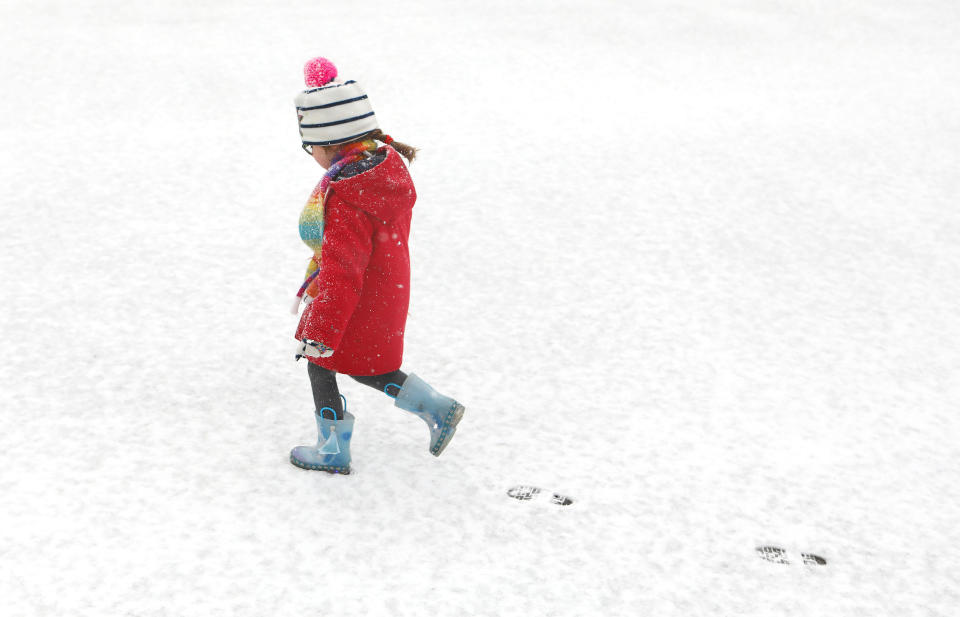
Snow will fall in almost every part of the UK over the coming days, forecasters have warned, as bad weather brings widespread disruption.
Icy conditions are expected to make rush hour conditions treacherous as a blanket of freezing weather grips the UK.
Temperatures across the country plummeted once again overnight with northern parts most likely to wake up to disruption on Tuesday morning, the Met Office said.
The wintry conditions are expected to continue into the weekend and there are warnings that Britain could face unusually cold weather for the rest of the month – with this week predicted to be one of the coldest of the winter so far.
Met Office forecaster Alex Burkill said: “There are indications of quite a prolonged cold period.”
The warnings follow forecasts that snow is set to fall in almost every part of the country in the coming days, with this week predicted to be one of the coldest of the winter so far.
The wintry conditions are expected to grip much more of the country by Tuesday evening, the Met Office said.
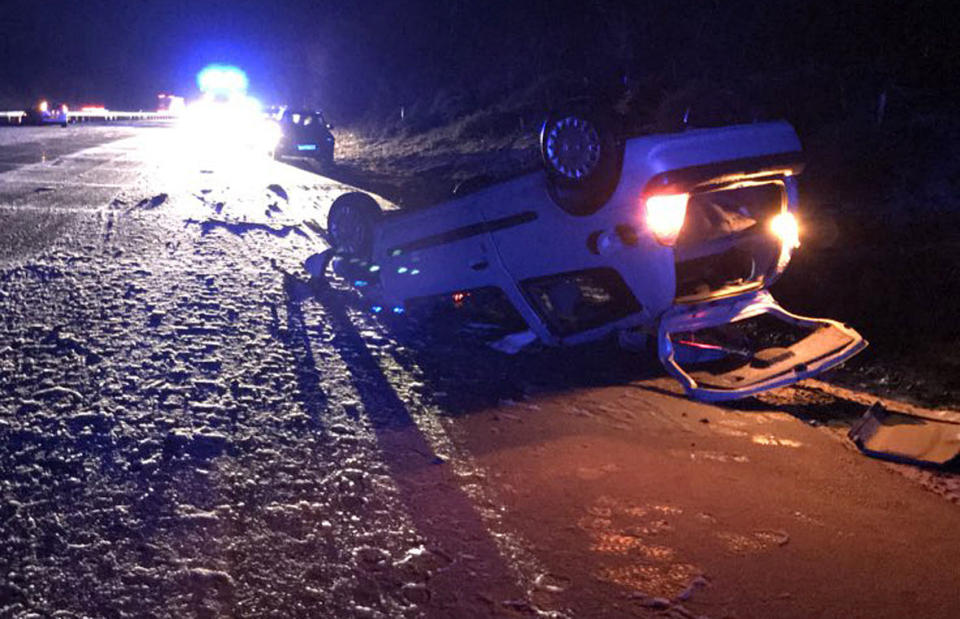
Kent Police said the “heavy snowfall” had led to treacherous conditions for drivers on Monday morning, leading to several crashes on the M20.
SURVIVE THE WINTER! ADVICE AND TIPS FROM YAHOO UK
Five things you’re doing which could be making your cold WORSE
The signs and symptoms you’ve got flu (and how to avoid them)
15 warming comfort food recipes to keep you toasty this winter
Natural cold remedies: How to feel better without heavy duty medicine
Katesbridge, County Down, recorded the coldest conditions of -6C, followed by -5.6C in Altnaharra, northern Scotland, and -5.6C in Redesdale, Northumberland.
Snow showers left between 1cm and 2cm in Kent and Essex on Monday and are expected to get lighter in south-east England throughout the day.
Temperatures could sink as low as -11C in the Scottish Highlands on Wednesday night.

Mr Burkhill added: “As we go through the next 24 to 48 hours, it’s going to stay cold, and we are going to see some snow and pretty much anywhere in the country could see something.”
He added: “Across a big chunk of Scotland and Northern Ireland, where we have had snow overnight, that’s likely to then lead to some ice in time for morning rush hour tomorrow.
“Across northern parts of England and Wales we are likely to have some snow falling during morning rush hour, so that’s likely to cause some difficult driving conditions and there could also be some icy patches too.”
MOST POPULAR TODAY ON YAHOO UK
Police chief makes u-turn on on pledge to punish every driver who goes 1mph over speed limit
Aldi recalls 38,000 bags of frozen veg after customer finds half a RAT inside one
Man stabbed on Oxford Street after ‘fighting back against moped muggers who stole his phone’
Billie Piper says she was ‘over-sexualised’ during early part of her career
Kent Police said two crashes took place in the space of one minute on Monday morning, at 8.29am and 8.30am between junctions eight and nine of the M20.
The first saw a car overturn, leaving one person with minor injuries, while across the carriageway a lorry and a van collided, flipping the van and injuring one passenger.
Staying cold for most of this coming week, so here is a look at what the #jetstream is doing over the coming days ❄️ pic.twitter.com/cNcvUx1nEE
— Met Office (@metoffice) February 4, 2018
Police said conditions were poor on a wider part of the network.
“Be aware. Extra time. Allow space watch for changing road conditions. If you get stuck stay with your car leave engine running. If you are able, Low gear low revs keep moving,” the force tweeted.
Some pictures from just some of the crashes we are working with @HighwaysSEAST and @SECAmbulance to clear. It’s 0012 and we anticipate to be open on the m20 with possibly minimal lane closures by 0100 #workingasfastaswecan #sorryfordelay SL pic.twitter.com/9O6yfzt9rs
— Kent Police RPU (@kentpoliceroads) February 5, 2018
Another yellow warning for ice has been issued covering the East Midlands, east and north-east England and Yorkshire and Humber.
Meanwhile another snow and ice weather warning has been issued for Wales, Northern Ireland, most of Scotland and northern England, beginning on Monday night from 8pm and continuing until 3pm on Tuesday.
And Eastern England can also expect disruption after the Met Office issued a yellow severe warning for snow and ice in the region.

