
 Yahoo News
 Met Office yellow warning for 'damage and disruption' from thunderstorms in Yorkshire
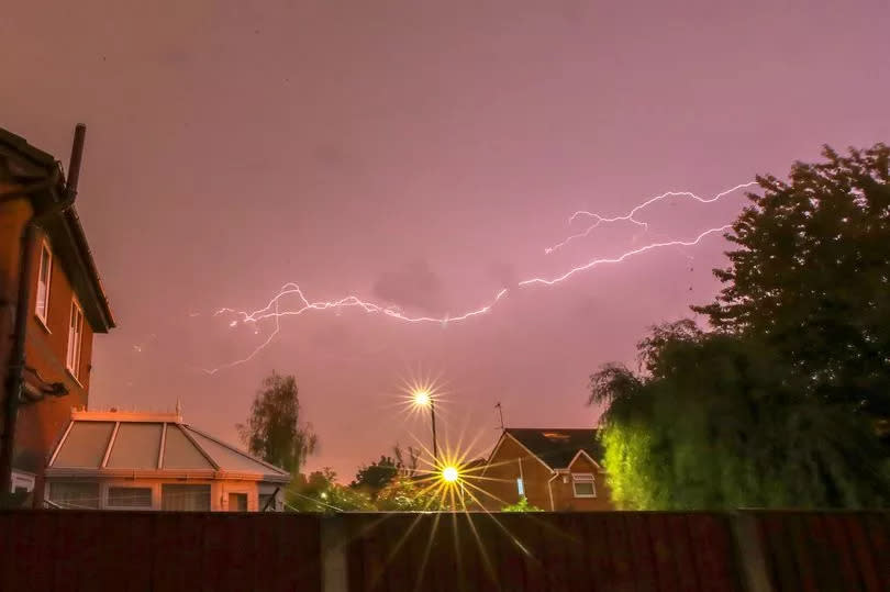
The Met Office has this morning issued a yellow weather warning for thunderstorms and possible disruption for Yorkshire.
Forecasters issued the yellow weather warning for today, Tuesday, to run from 11am to 9pm this evening, with the risk of heavy showers and thunderstorms this afternoon and possible travel disruption.
The Met Office said: "There is a good chance driving conditions will be affected by spray, standing water and/or hail, leading to longer journey times by car and bus."
Read more: 'We are hunting you down' message to nuisance Huddersfield bikers as new plan is set out
And the forecaster warned of possible damage to buildings and structures from lightning strikes, as well as some short term loss of power. Some flooding of a few homes and businesses is possible, leading to some damage to buildings or structures, the Met Office added.
The Met Office forecast for Yorkshire for today says: "Some bright spells to start but scattered heavy showers developing, especially inland and then edging westwards across the Pennines, with thunder likely by afternoon. Temperatures near average but feeling cooler along the coast with an onshore breeze. Maximum temperature 19C."
The Met Office published a map of the yellow weather warning. The affected area includes a large swathe of Yorkshire including Huddersfield, Sheffield, Leeds, Bradford and north towards York and the Yorkshire Dales.
Huddersfield weatherman Paul Stevens has tweeted a similar warning on his X account.
The Met Office trained Huddersfield-based forecaster is warning of 'heavy and thundery showers' over the Pennines in the afternoon and/or evening.
Wednesday is expected to be dry and warm with sunny spells, according to Paul. Thursday will see some dry, hazy sun with temperatures around 20C.
Get all the latest and breaking news in Yorkshire by signing up to our newsletter here.

