
 Yahoo News
 'Thick and fast': Snow hits parts of UK as warnings are extended and airports and schools are closed

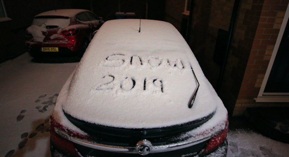
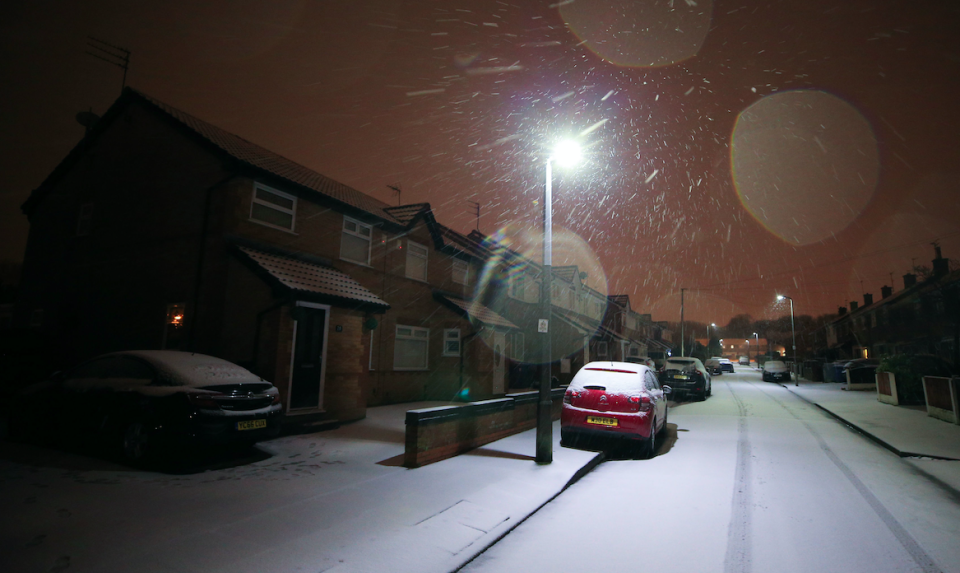
Snow has hit much of the UK overnight, leading to travel chaos and school closures amid warnings of more to come.
Manchester and Liverpool airports temporarily halted flights due to the severe weather, with images posted to social media showing both runways blanketed in snow.
Liverpool Airport has restarted inbound and outbound flights while Manchester Airport said it has reopened one of its runways for departures and arrivals.
The airports urged people to check the status of their flight before travelling after the Met Office said Britain was facing ‘very significant’ snowfall this week.

Meanwhile, school closures have been reported around the UK and in Ireland.
Much Woolton Catholic Primary School near Liverpool announced its snow day on Twitter, and asked for ‘creative ideas’ to make the most of the blanket covering the grounds.
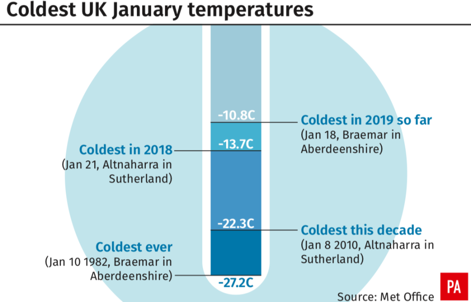
Temperatures are expected to plunge to at least minus 10 degrees Celsius (14F) in parts of the country, the forecaster warned.
A weather system forecast to arrive on Thursday could break this winter’s current record low of minus 10.8 (12.6F) degrees and bring up to 10cm of snow to parts of southern England.
Yellow weather warnings for snow and ice cover the majority of the UK on Wednesday – with only a narrow sliver of the country north-east of Carlisle not affected.
MORE: The two quotes that sum up the Brexit chaos
MORE: Speedboat killer Jack Shepherd will not face fast-track extradition
Journeys on the roads could take ‘a lot’ longer and should be avoided if possible, said Met Office meteorologist Alex Burkill.
The warning in Scotland, Northern Ireland and most of the UK runs until 11am on Wednesday, while the South East, London and East Anglia are covered until 12pm.
Further warnings have been issued for Thursday when a new weather front comes in which could bring in more wintry weather.

Mr Burkill said: ‘Looking further ahead, it’s what happens on Thursday that has the potential to be more disruptive.
‘It does have the potential to bring some very significant snow. We have already got a warning out in force for it.
‘It’s currently just a yellow warning, but it’s not out of the question that will be ramped up nearer the time.
‘It’s looking like it will be a spell of persistent snow.’
The year’s record low, recorded in Braemar, Aberdeenshire, on January 18 is also likely to be beaten.
Benton, in Oxfordshire, and Santon Downham, Suffolk, are among parts of England which could be coldest.
Mr Burkill said: ‘I think Scotland will probably be the coldest place but it’s not out of the question we get into negative double figures in parts of England.’

Thursday will start off ‘very cold’ as the weather system pushes eastwards from the south-west.
Areas of higher ground could get up to 10cm of snow.
‘It’s worth bearing in mind there will be some disruption, particularly to travel. If you’re heading out on the roads, be aware your journey will take a lot longer than normal,’ Mr Burkill added.

‘There’s an ice risk which is going to cause some problems so even if there is no snow it could be icy on the roads and pavement which people need to be aware of.’
Official Met Office figures for snowfall on Tuesday showed the worst-hit areas were Tulloch Bridge, Inverness-shire, with 11cm, and Spadeadam, Cumbria, with 10cm.
Councils have prepared for heavy snowfall, with more than 1.4 million tonnes of salt stockpiled, the Local Government Association said.

