
 Yahoo News
 UK weather: Exactly when sunshine will return after blast of 'warm air from Sahara'
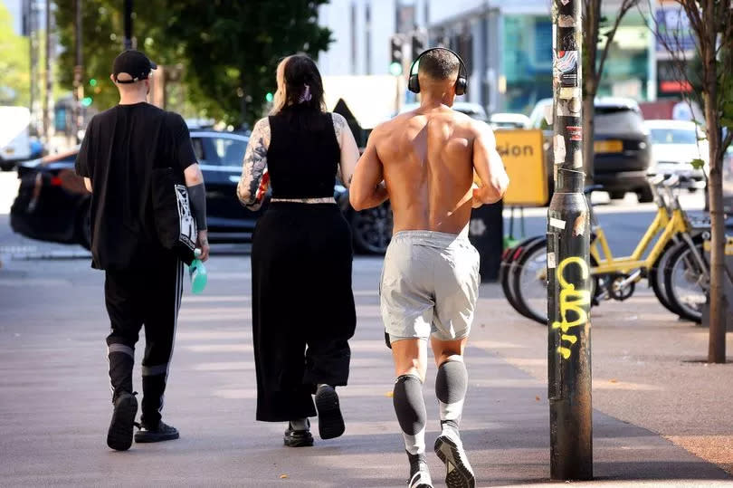
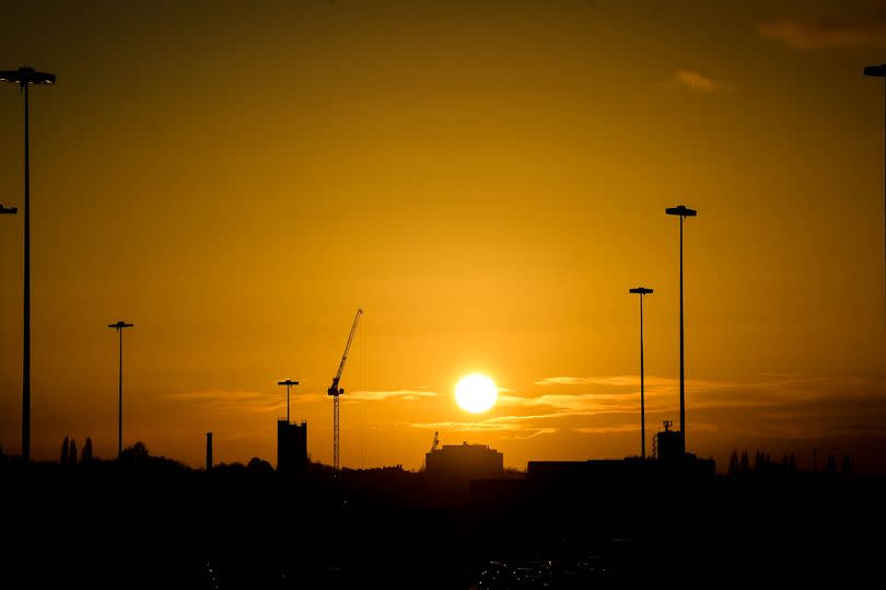
The UK is set to say glorious sunshine over the next few days, according to weather maps. The Met Office forecasts temperatures of 16C on Sunday afternoon (April 21), significantly above the average for the time of year.
Meteorologists say it will be warmest in parts of the Midlands, south Wales and Southwest of England. The latest update from the Met Office says 'high pressure' will become 'increasingly dominant' over the weekend, bringing with it 'dry and more settled conditions' across the UK.
While the Met Office says a heatwave is unlikely, this weekend - notably Sunday - will see a return of sunny skies and warmth from Europe, mirroring recent glorious weather France and Spain is enjoying, reports the Mirror.
READ MORE Met Office issues heatwave verdict as high pressure to build this weekend
Deputy Chief Meteorologist Mark Sidaway said: “Don’t expect a heatwave. Temperatures will be close, or a little above average but feeling warm in the sunshine and light winds. The high will also bring with it a good deal of dry weather for most of the country."
The Met Office says 16C highs are likely in a number of areas, including Greater Manchester, Bristol, Gloucester and Worcester. South Wales will also be warm, especially in Monmouthshire and Gwent. Most of the Midlands will see at least 15C on Sunday afternoon, as even will parts of rural Scotland, including Perth and Kinross.
A spokesperson added: "Over the weekend and into the new week a build of high pressure will likely occur, meaning more in the way of dry and calm weather across the UK as a whole."
Netweather forecaster Jo Farrow added: "Warm air from the Sahara was transported over Iberia towards southern France around an area of high pressure. This proved exceptional for the beginning of April with an average temperature in France (average of temperatures over 30 reference stations) reaching 17.9C, which had never happened before April 15 in France."
"Last week, warm air from Africa flowed up through Spain and France reaching parts of Britain. North London saw 21.5C on Friday 12th. Saturday 13th saw the highest UK temperature of the year, so far, near Chelmsford in Essex with 21.8C."
Writing on its website, the Met Office anticipates the spell of high pressure to last into May. It says: "Around the turn of the month high pressure will probably remain close to the UK, with a good deal of dry and calm weather continuing for many areas."
"Into early May, these settled conditions will probably move northwards, with the driest weather perhaps across the northwest of the UK. If any more unsettled conditions develop these are more likely to affect south with a risk of some heavy rain or showers."

