
 Yahoo News
 Met Office map shows where heatwave set to hit Wales as temperatures forecast to reach 27°C
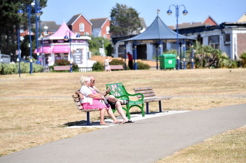
Some parts of the UK could see a heatwave next week with temperatures expected to reach nearly 30C. The Met Office has said that even if the UK doesn't meet the heatwave threshold, most of the nation will see the hottest temperatures of the year so far.
The Met Office defines an official heatwave as at least three days where the temperature exceeds a defined temperature threshold. And next week the UK is expected to see very warm weather for four days. From Monday, June 24 to Thursday, June 27, much of the UK will see temperatures well into the mid 20s, with some areas reaching highs of 29C.
A Met Office chart has shown where can expect to see the warmer weather, with south east Wales reaching temperatures ranging between 25-27°C. The chart appears to cover areas such as Monmouthshire, Powys, Newport and Cardiff and even reaching as far as Swansea.
Dan Rudman is a Met Office Deputy Chief Meteorologist. He said: “After a brief, less settled interlude today and tomorrow, fine conditions will return by Sunday and into the beginning of next week. For much of the UK this will be accompanied by a boost in temperatures with many places reaching the mid-20°Cs.
"Some central and southern areas are likely to see temperatures approaching the values needed for heatwave conditions. Heatwave conditions need to remain in situ for three consecutive days, and by the beginning to middle of next week it is possible that some parts of the UK could be reaching heatwave thresholds.
“However, whether or not everyone experiences heatwave thresholds, the majority of the UK will experience the highest temperatures so far this year." Join our WhatsApp news community here for the latest breaking news
However, after the warm week ahead more unsettled weather is expected to return with Wales turning cooler and wetter. The Met Office says that although temperatures could reach a peak on Wednesday, the breakdown of this high pressure from Tuesday night into Wednesday could turn things more unsettled.
With this breakdown, there is also the chance of some heavy showers or thunderstorms in places, with the most persistent rain likely in the west or southwest. “Confidence in the forecast reduces markedly from Wednesday onwards, with uncertainty in both how long the heat will last and how it will break down, which we will be keeping an eye on for the coming days. However, by next weekend, cooler, changeable conditions become more likely.
"The best advice for anyone wanting to know how the weather is shaping up from mid-next week, is to keep an eye on our latest forecast," the deputy chief meteorologist said.
Met Office forecast for Wales
Monday, June 24:
"A dry day with variable amounts of cloud and plenty of sunny spells. Light southerly winds and feeling very warm. Maximum temperature 23 °C.
Outlook for Tuesday to Thursday:
Turning more widely warm or very warm and humid through Tuesday, and Wednesday with sunny spells and an odd shower possible. A thundery breakdown possible later in the week.

