
 Yahoo News
 Met Office predicts 7 days of sunshine amid 'mini heatwave' with little chance of rain
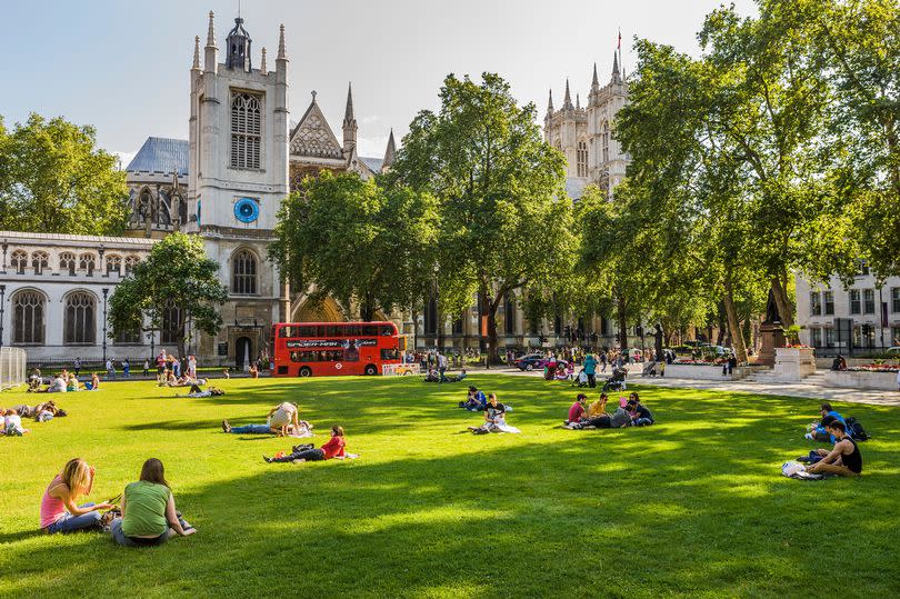
The Met Office is forecasting a mini-heatwave after what has been a mixed start to weather in June. According to the UK’s national forecaster temperatures will range between 20C and 23C between today (June 17) and next Sunday (June 23).
In what has become a rare sight in recent weeks, the Met Office's forecast is showing almost completely uninterrupted sunshine and dry skies with less than a 5 per cent chance of rain across the capital. Following on from the stop-start sunshine and thundery showers we dealt with over the weekend, the next week well may be a good chance to give your umbrella a much needed rest.
Today (June 17) will peak at a balmy 23C at around 4pm with the high temperatures set to continue for the rest of the week. The evenings are also set to be warmer with temperatures in double figures lingering into the early hours and brighter mornings forecast for a sunny commute to work.
READ MORE: The London Underground station that's really far out of city with the poshest name ever

Mini heatwave
Today (June 17) - 22C, sunny changing to cloudy in the afternoon.
Tomorrow (June 18) - 20C, cloudy.
Wednesday (June 19) - 20C, sunny intervals changing to cloudy by late morning.
Thursday (June 20) - 23C, sunny changing to cloudy in the afternoon.
Friday (June 21) - 23C, sunny intervals changing to cloudy in the afternoon.
Saturday (June 22) - 22C, sunny intervals changing to overcast by lunchtime.
Sunday (June 23) - 23C, cloudy changing to sunny intervals by lunchtime.
The Met Office isn’t the only forecaster predicting good temperatures either as BBC Weather too suggests it will be sunny and warm until next Sunday. In fact, the BBC predicts thermostats to hit 25C next Monday.
But it may be just a blip as WX Charts predicts that a huge deluge of rain will drench the capital next Wednesday. Sorry to be the bearer of bad news.
Long range forecast
The Met Office reports that “Following a couple of days of largely fine and settled weather, a gradual transition to more changeable conditions from the Atlantic is likely to take place with periods of cloud, rain and stronger winds most often affecting the west and northwest.
“There remains a small chance of an area of heavy, thundery rain affecting parts of the south on Friday, June 21, possibly accompanied by briefly hot and humid conditions. Into the last week of June, changeable conditions are likely to remain dominant, with the focus for these conditions continuing to be across the north and west, with spells of more settled and drier conditions likely in the south and east. Nationwide, temperatures are expected to be close to or slightly above average.”
Get the biggest stories from around London straight to your inbox. Sign up to MyLondon's The 12 HERE for the 12 biggest stories each day.

