
 Yahoo News
 UK weather: Up to 10cm of snow forecast for many parts of UK as major incident declared
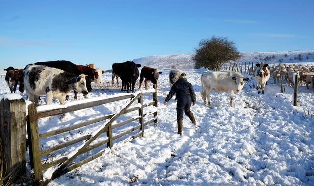
A major incident has been declared in Cumbria as a cold snap intensifies across much of the UK, with deep snow forecast in many counties.
Cumbria was under an amber warning for frequent snow showers, as temperatures across the UK plummeted below freezing.
But the Met Office has also forecast snow for many other areas of the North, Midlands and Wales - with yellow warnings in place.
Meteorologists feared travel delays and power cuts were likely in Cumbria, and rural communities could be cut off.
Cumbria Police said a multi-agency response was ongoing on Saturday evening to "minimise the challenges that heavy snowfall is continuing to have on the county's road network".
The force said the M6 southbound between Junction 38 and J37 was blocked due to jackknifed lorries, and the A595 between Millom and Furness was impassable.
National Highways confirmed that it was dealing with a large number of stranded vehicles, particularly on the M6 between J38 and J40.
Earlier on Saturday, Cumbria Police said there were multiple reports of vehicles stuck in traffic in the South Lakes area, particularly in the Bowness and Grizedale areas, because of snow.
Elsewhere, some flights have been cancelled or delayed due to the ongoing weather conditions, London Stansted Airport has said.
The Met Office extended its yellow weather warning for northwest England into central Lancashire - and independent forecasters are predicting up to 10cm for parts of the Midlands into Wales and the Pennines, with "significant" snowfalls in surrounding areas on Sunday and Monday.
Check the five-day forecast for your area
The yellow Met Office warnings for snow and ice stretch from Lancaster to the Scottish coast south of Dumfries, until midnight tonight. This is replaced by a warning for ice until Sunday lunchtime.
Another covers much of the Midlands, Yorkshire and North and central Wales - runs from Saturday evening through until Sunday lunchtime.
A separate alert for snow and ice, stretching from Teesside to South Wales, Merseyside and Birmingham, is in place from 6pm on Saturday to 12pm on Sunday.
And East Anglia, London and southern parts of the Midlands are also facing a yellow warning for ice until 8am on Sunday.
Forecasters have warned wintry conditions across the UK were likely to see icy patches on untreated roads, pavements and cycle paths posing the risk of injury from slips and falls.
They also warned travellers faced longer journey times.
The Met Office's Ellie Glaisyer said: "Further showers pushing in from the west, turning to snow across Wales and parts of northwest England as well, perhaps up to 10cm of snow across the Pennines through Sunday morning.
"Another cold night for most of us, turning icy across parts of central England and parts of Wales as well, but perhaps as low as -8C to -10C across parts of Scotland.
"A much milder start across the South West of England though."
Temperatures were predicted to drop to -12C overnight on Saturday in the Highlands, after several sporting events were cancelled due to snow and icy conditions.

